
San Luis Obispo County
Temperature data
This website provides access to the air temperature data measured by the UC Cooperative Extension in vineyard regions throughout San Luis Obispo County. The links to the annual data sets by year are listed below; each file contains the hourly average readings, in Excel format, for all stations in the county during that year. Data is collected from all stations after the end of the year and then posted online.
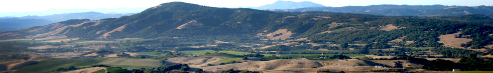
The locations of the individual stations are indicated with the blue dots and corresponding numbers on the aerial photograph below; the same numbers are used for the data file names. For example, file 2009-SLO-5 corresponds to the 2009 year values for station location 5 on the map. Each year's Excel file has individual worksheets that contain the data for each site.
Note that the Excel file that is downloaded to your computer will have a different file name than is listed here (e.g. 45138), but when you open the Excel file you will see the correct identifier with the data.
If you have any questions, please email Mark Battany at mcbattany@ucdavis.edu
Similar temperature data for Santa Barbara County is available here.
To view an aerial photo showing the location of the measurement sites, click the map icons below:
Northern San Luis Obispo County:

Southern San Luis Obispo County:

The links below contain the temperature data for each calendar year:
Notes on the 2011 data:
- There is no data for SLO-5
- SLO-31 was added
Notes on the 2009 data:
- SLO-17 was not functional for most of 2009.
- SLO-29 was added
- SLO-30 was added.
Notes on the 2008 data:
- Station SLO-4 was not functional for much of the season, so only December data is posted.
- Station SLO-8 is missing data from February until June, 2008
- 2008 was the first season for the San Luis Obispo County sites; starting times for individual stations ranges from mid-2007 through early 2008.
Notes on the 2007 data:
- Data was collected from mid-2007.